Crossing Lake Erie South

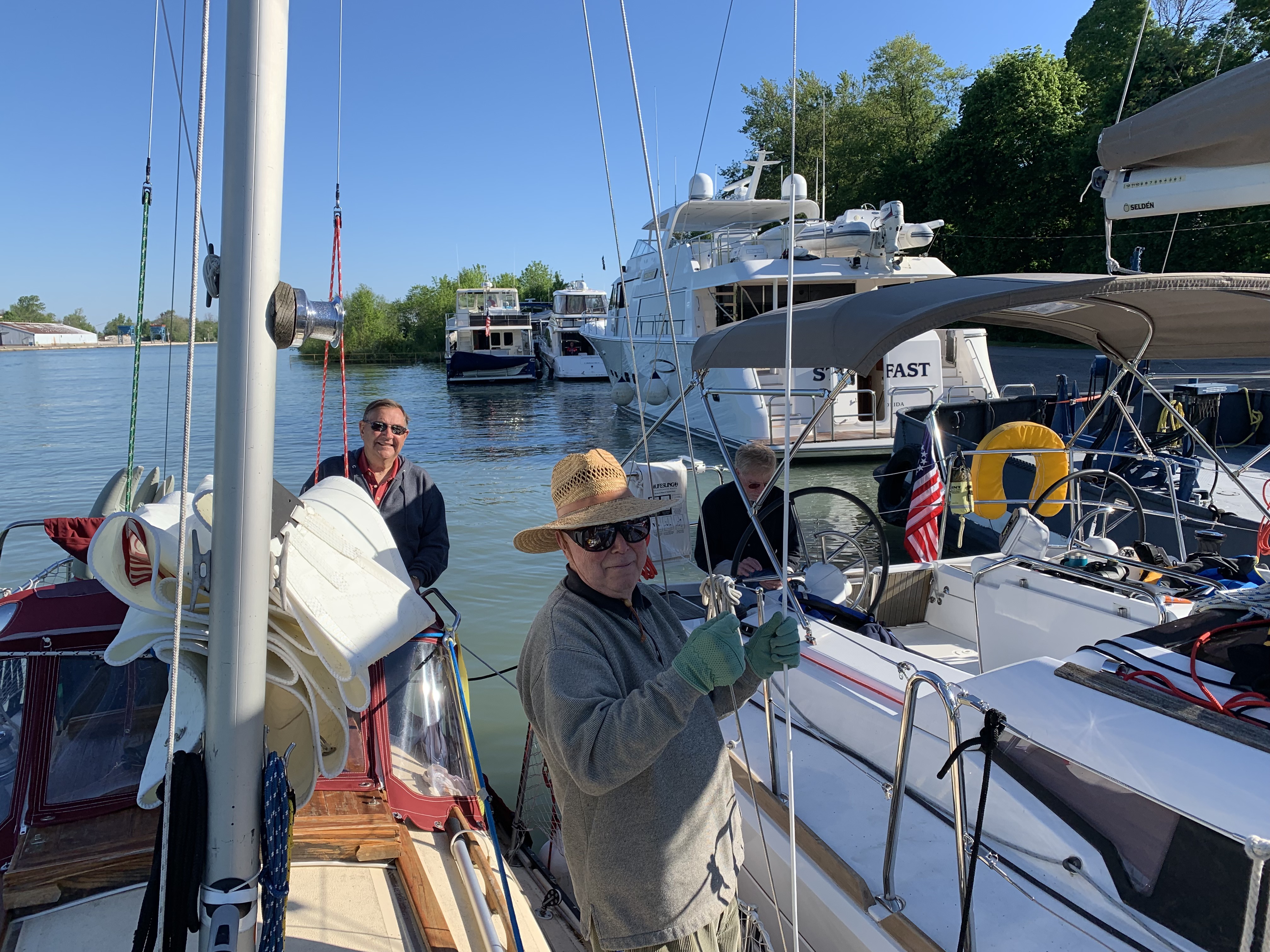
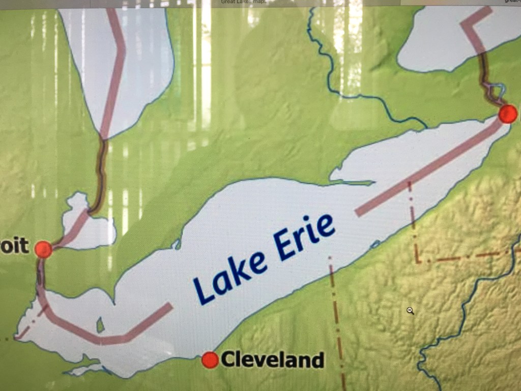
Entry #57:  Lake Erie Clockwise to South Shore West to Mouth of Detroit River.

 Sunday, June 9th:  Sixty-seven miles to Erie, Pennsylvannia.  I won’t make it today but maybe I have the stamina to sail through the night.  Well, I’m tired but the long term forecasts for Lake Erie are not promising and I’m TEN days behind schedule.  I left the slip at 7:15 am after tightening my backstay headed for Erie.  Winds were light coming out of the ESE but the sky was clear.  The winds turned out to be fluky and pretty soon I was inundated with meat eating flies – thousands of them.  (I do not recommend this approach to weight loss.)  I covered my ankles the best I could with little success.

The winds remained fluky throughout the day and 2 pm shifted now coming from the west.  Storms were now being forecast for late evening.  I wasn’t going to make Erie either today or overnight.  I changed my waypoint for Dunkirk, New York.  I turned on my engine and with my sails still up, I planned to hit the coastline near Dunkirk then head west as far as I could go and then anchor for the night.

I anchored near Ripley, Pennsylvania on the leeward side of the bluffs to buffer me from the predicted growing winds coming from the south.  Storms were forecast overnight and winds were to grow to over 30 coming from the west.  NTL rocked and rolled that evening but I made it through the night.

Monday, June 10th:  I took up anchor at 5:30 am in an effort to beat the storms and higher winds predicated for the afternoon.  I had 25 miles to Erie and safe harbor.

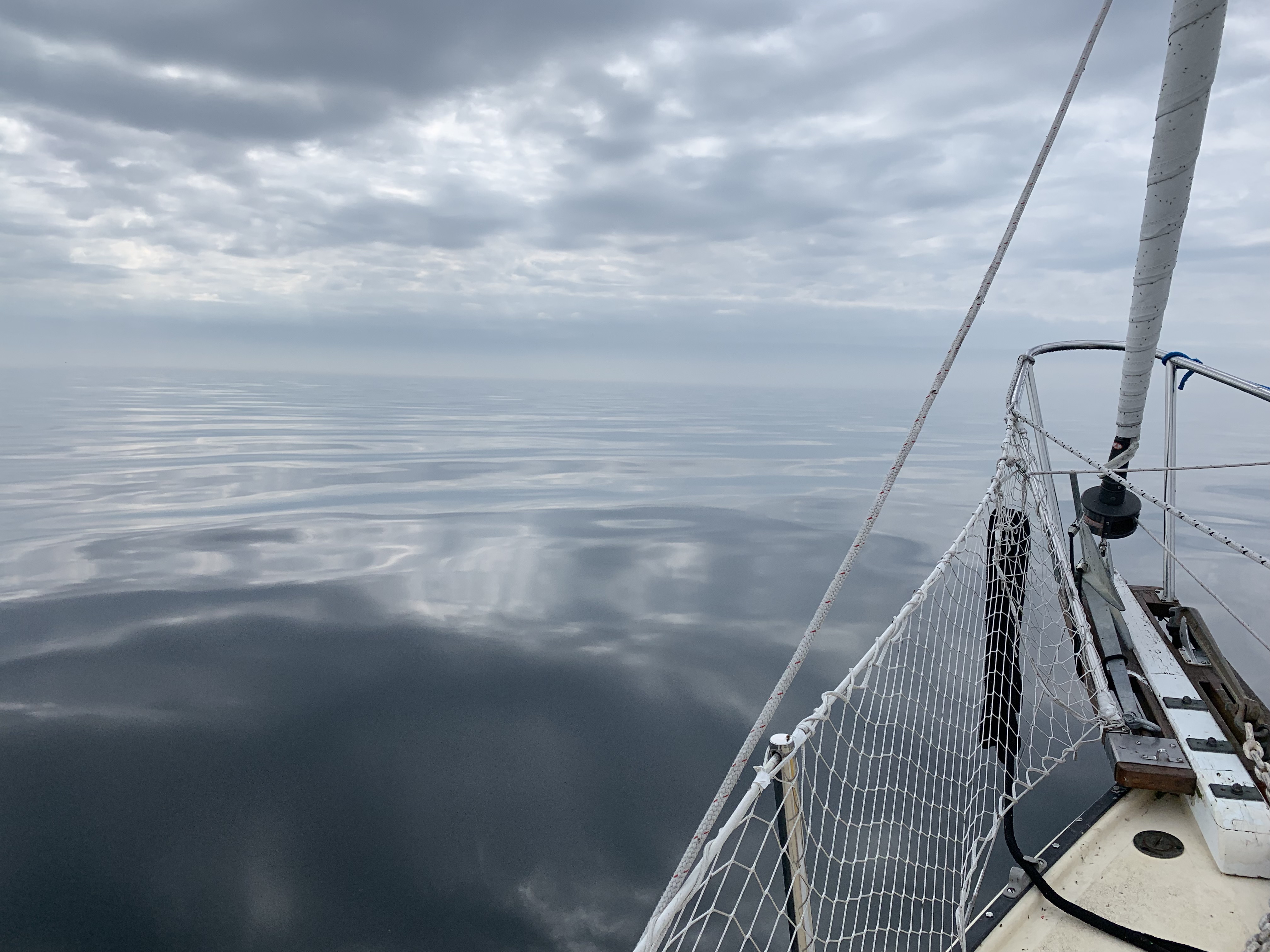
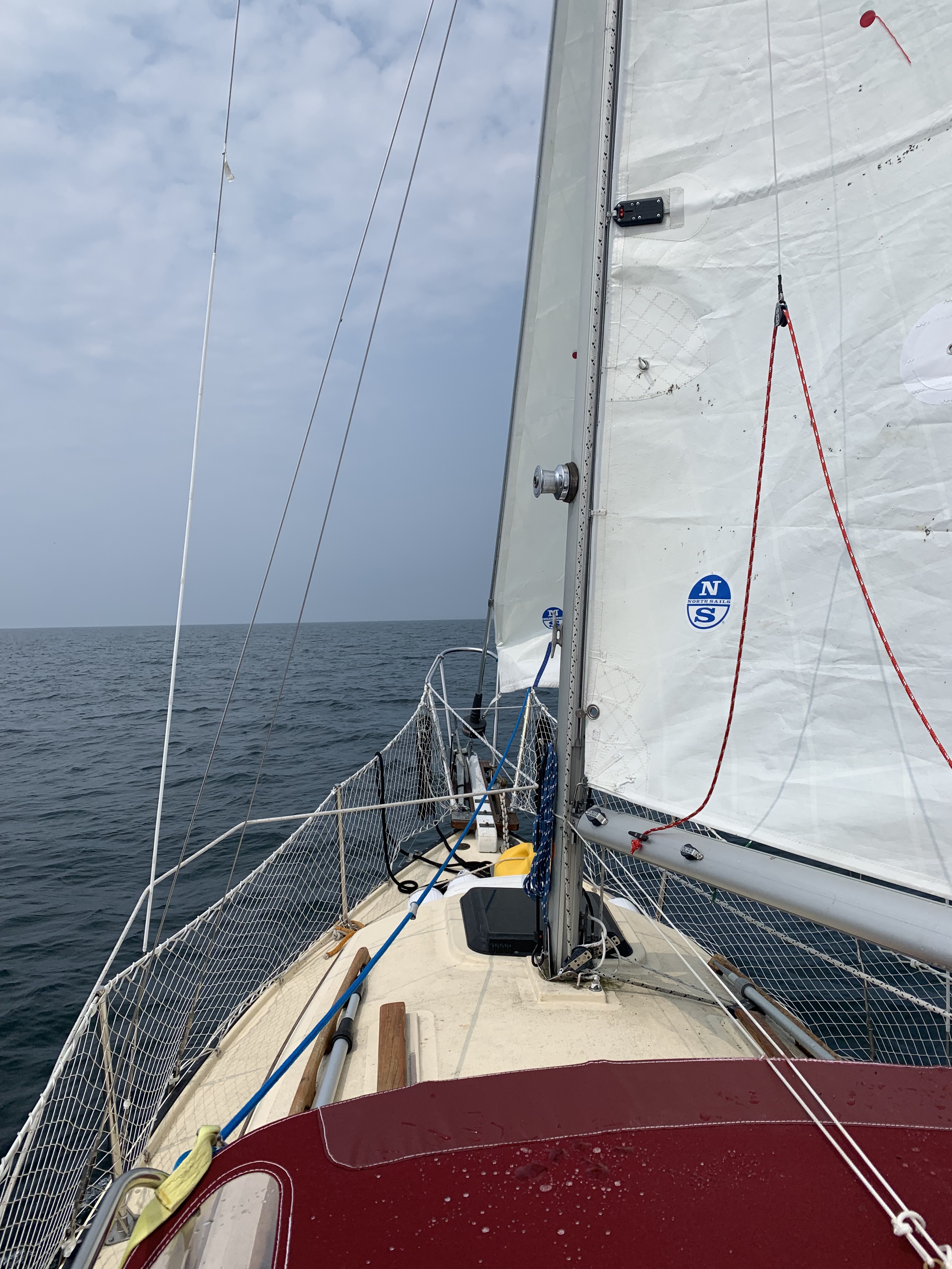
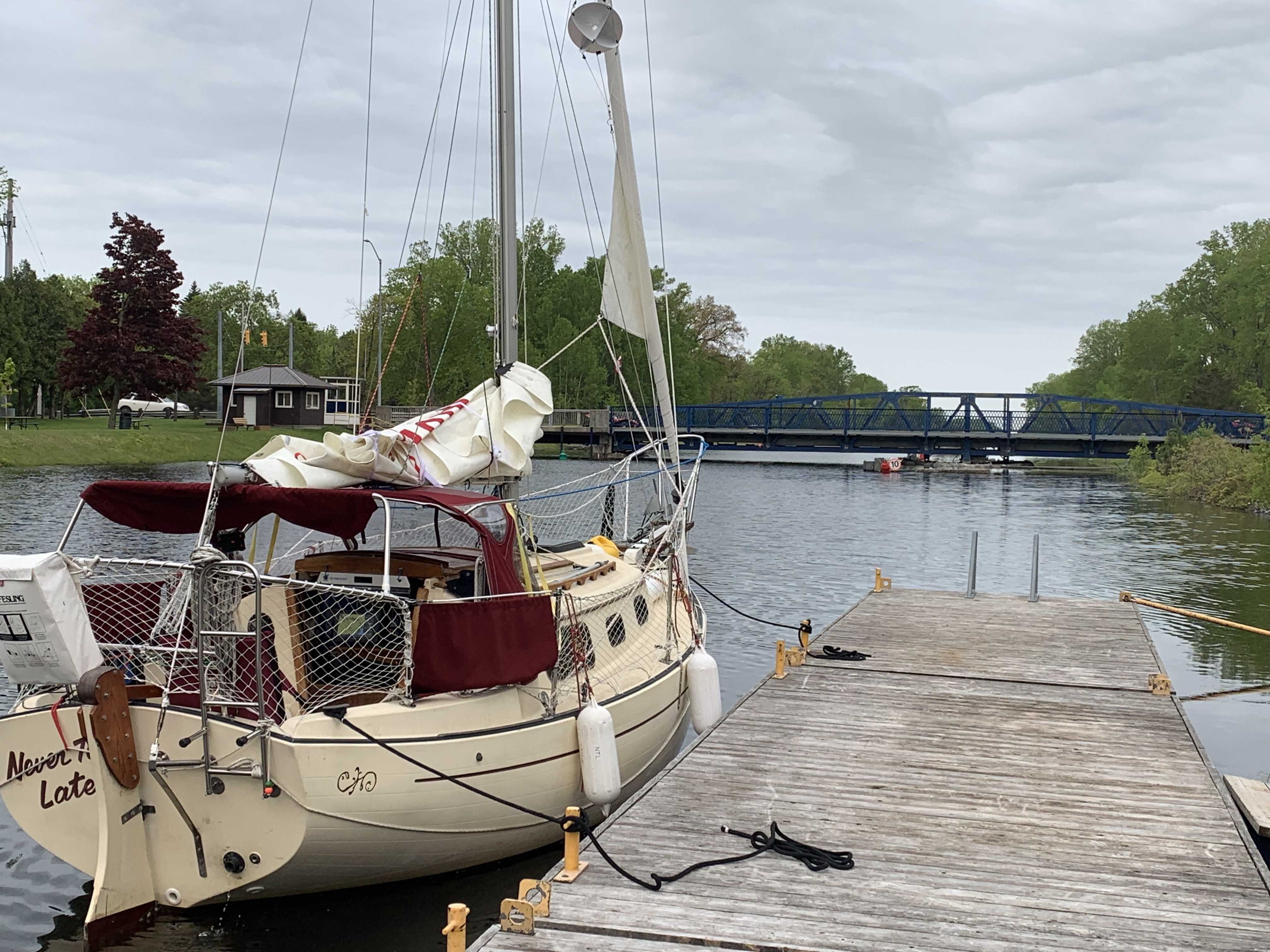
I followed the bluffs along the coastline in 10 foot water heading west.  The winds were building with sudden gusts well over 30 mph.  Even with the protection of the bluffs and not being more than 1,000 feet from shore, I was continuously sprayed with water from the waves hitting my boat.  Rains added to the fun.  I had a long sleeved thermo, ski sweater, semi-dry suit, life preserver and water proof hooded jacket, gloves and I was still cold.  No way it was 75 degrees as forecast!   Needless to say, I was the only boat in sight the entire day.  NTL handled the conditions superbly.  She’s truly a gem.

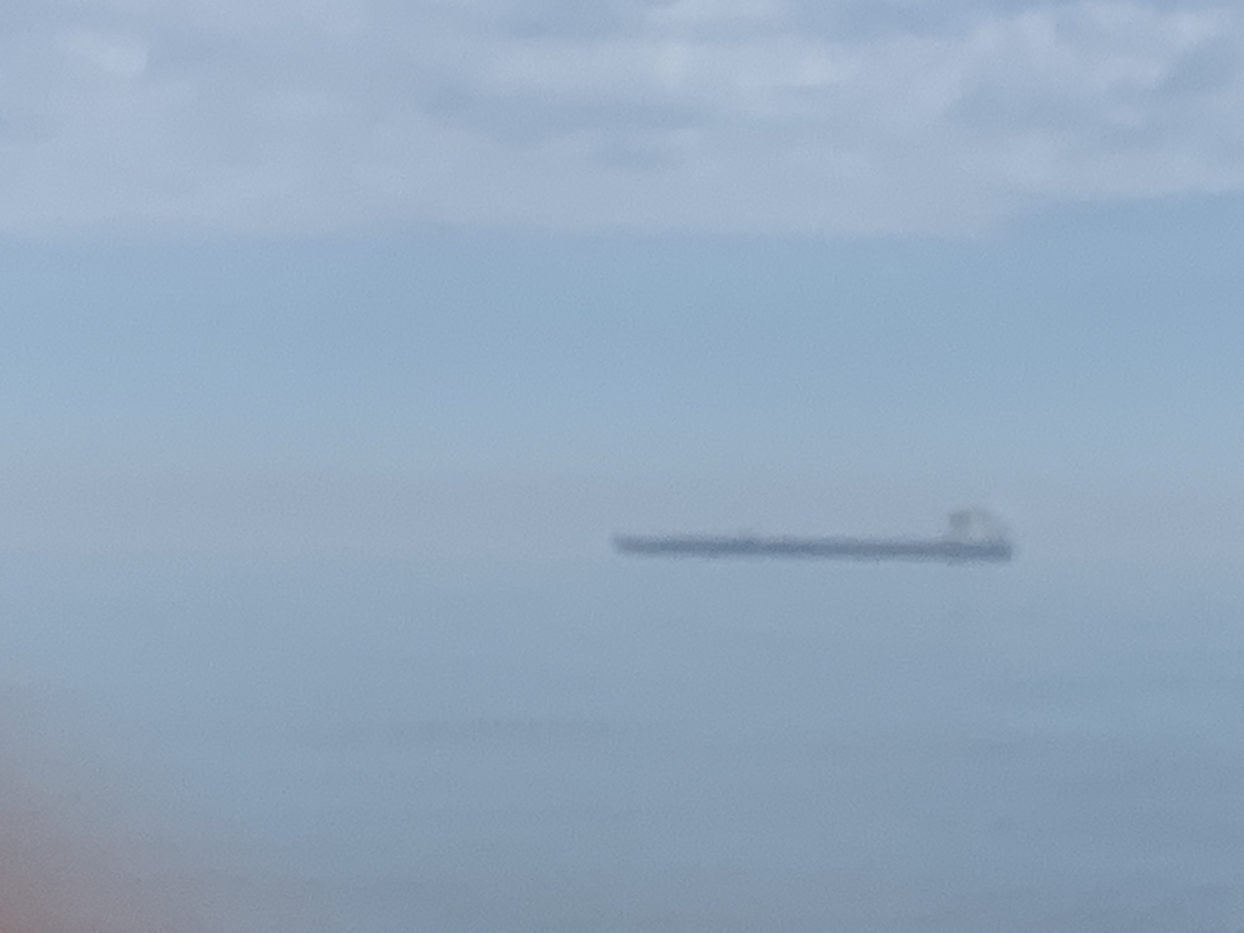
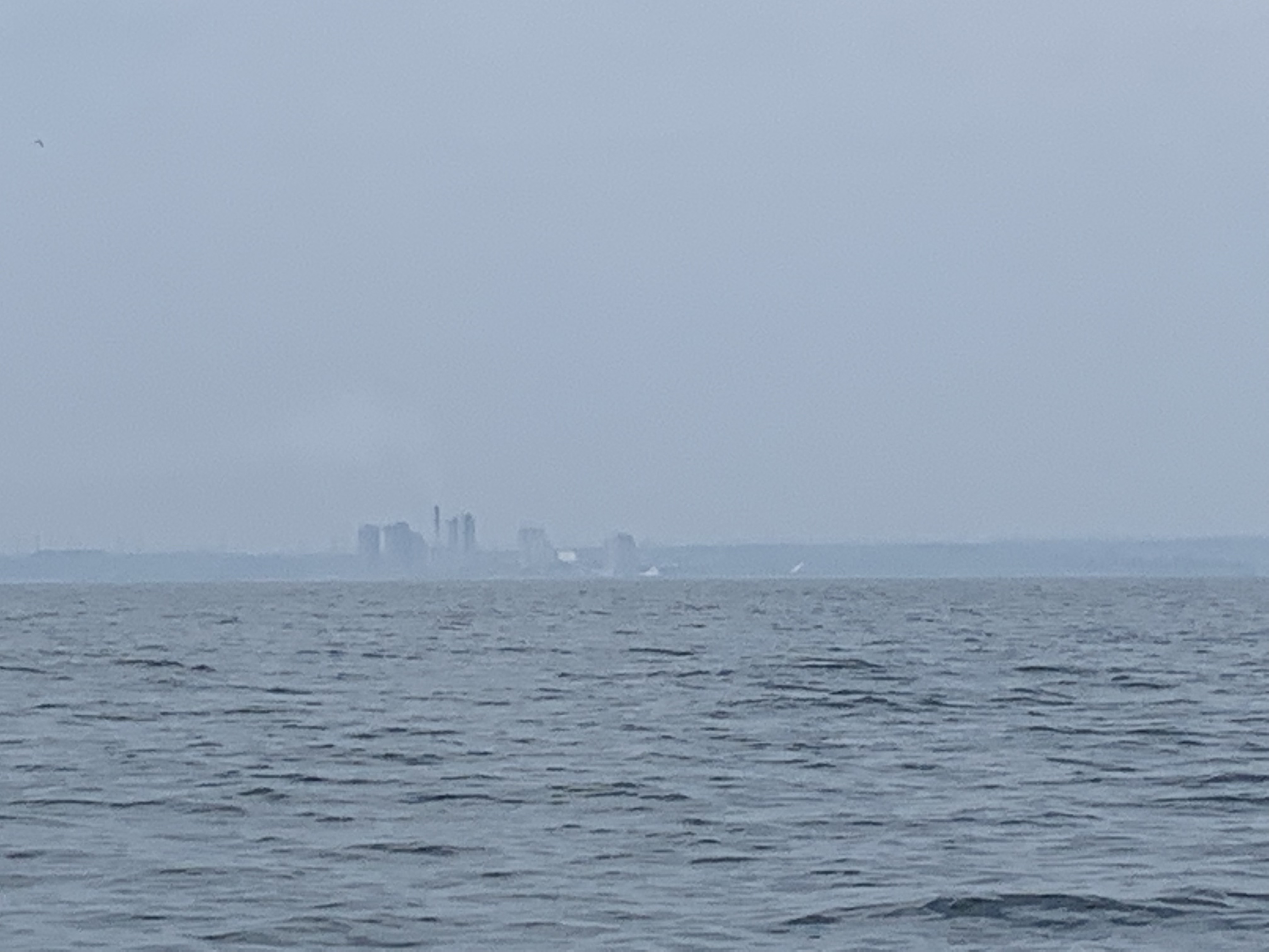
As I entered the safety of the Erie Bay heading for (blank) Landing Marina and my pre-reserved slip, a vessel approached me and I was being hailed.  US Customs & Board Patrol and they want to board me and search my vessel!  (Honest, I have pictures.)

They escorted me to my marina where one officer took every piece of identity I had and proceeded to get on the phone; another went through my boat while a third (Ohio State fan) stood alongside me.  After about 45 minutes they were done and wished me well on my journey.  I voiced my condolences to the Ohio State officer and proceeded to fuel my boat before going into my slip.

Later I found out that not 40 miles to the east of me, a 4.0 level earthquake struck Ohio (per USGC)!  No wonder I had difficulty holding steady taking photos of the CBP!  Again, I can’t make this up.

The winds were howling last night together with the rain storms.  But its clear this morning and I walked the 2 miles to Starbucks to update my blog.

I hope to reach Geneva On The Lake Marina tomorrow.  It promised to be a tough sail but todays’ respite will help me to step up to the challenge.

Take care everyone.

Up The Welland Locks

Entry #56:

Saturday, June 8th:  We left Port Dalhousie around 6:30 am headed for Lock #1 at around 6:30 am.  I was told to be at the call-in station around 7:00 pm.  We arrived around 7:30 am and rafted next to a 37′ Beneteau that had just been purchased and headed back to Toledo.  There were 8 other boats already docked, waiting.  They were ‘small’ recreational boats ranging in size from the Beneteau (smallest) to a yacht well over 90 feet!  Clearly NTL was the class of the fleet.

I dis-embarked NTL and made my call-in to the Welland Canal.  It was around 10:30 am when an Algoma freighter finally cleared Lock 1 on its way down to Lake Ontario.  We were finally cleared to proceed.

(Note:  Passing through the eight (8) Locks has been quite the experience and I promise to go into more detail with pictures when I have more time.)

We got through the 27 miles and Lock 8 and through the elevated road bridge around 7:30 pm that evening.  I radioed Sugarloaf Harbor Marina and an attendant was waiting for us at our slip.

We quickly unloaded, went to Don Cherrys’ for another great meal and I saw both Gary’s off around 9:30 pm.  We had a great passage experience together and I will forever be great full for their assistance.  (More with passage detail to come.)

Returned to my boat and I proceeded to crash – long day tomorrow.


Rafted as water begins to fill Lock #1
Looking back after Lock is filled with water.
Moored awaiting freighter to clear before entering next lock.

Across Lake Ontario to Port Dalhousie

Entry #55:

Thursday, June 6th & Friday, June 7th:  I was scheduled to meet my Welland crew Friday evening and passage through the Locks Saturday.  Even though it was foggy with little winds, I needed to embark for Port Dalhousie.  (I’d rather be a day early than a day late.)

It was eerie the 30 miles in all glass waters and thick fog.  As I continued heading south across the lake at around 10 am (lake depth of  over 350′) I heard the sound of a ships’ horn to the west of me.   A familiar sound.  About ten minutes later, I can hear the ship sound its horn again coming from my left shoulder again from the west.  The fog was slowly lifting and I could begin to see about a couple of hundred yards.  I could now see the glass water surround NTL as she cut through with both sails and engine running.  I went to check my marine app but had no internet or telephone service in the middle of the lake.

As the fog continued to lift I heard the ships horn louder as ever, turned around a saw it crossing my stern about 500 yards behind!  It was then that I realized he probably had seen my radar deflector on his scope and was sounding his horn in part as a warning.  Good feeling.

I arrived at Port Dalhousie mid-afternoon, secured a slip, took a needed shower so as not to empty the marina and worked on completing installation of my mainsail reefing system and outhaul.  Not completely happy with it but it is functional for now and until I figure out a better system.

On Friday, I ordered a pizza delivery for Saturdays’ passage through the Welland lock and research the time to be at Lock 1.    Gary Miller and Gary Kuntzman arrived that evening.  Gary Miller brought needed supplies Mary had prepared and after we loaded the boat we went to the Kilt & Clover for dinner and discussed tomorrows’ schedule.

Sitting waiting to head south for Port Dalhousie.
Freighter crossing my stern as fog begins to lift in light winds.
In my slip at Port Dalhousie

Port Credit Anchor

Entry 53:

Tuesday, June 4th and Wednesday, June 5th:  Today, after too many decades I was going to sail by Toronto, my place of birth.  Due to the historically high water levels, marinas were closed so I wasn’t going to be able to walk the streets but I will get to see her skyline from the water.  The seas were flat, air again brisk (I could see my breath), the skies overcast and the threat of rain and growing winds.  That’s OK, I was going to see my home – can’t wait.

As I passed by my place of birth, the light winds shifted 180 degrees.  Now from the west at 12+ knots the waves continued coming from behind but had grown to 5 foot swells from the east!  I was in the midst of a vortex with two sets of winds – one from the east and the other from the west!

As I was leaving the Toronto skyline continuing west I counted at least eight cranes on top of high rises being built.  I don’t think a single one of them was lower than the RenCen.

I reached Port Credit around 7 pm with the west winds building and the threat of thunderstorms.  I had travelled 42 miles today and I was too exhausted to eat.  I anchored and fell asleep immediately only to suddenly awake.  Something was not right.  I jumped up, quickly looked outside and found my anchor did not hold in the wind and I was about to collide into some very expensive yachts.  I started the engine, pulled up anchor and set off missing one yacht by about 5 feet!  Hearing my dependable diesel, the skipper of the yacht ran out of his cabin and hollered a few shouts of expletives.  I didn’t quite get what he said as I was busy but assumed they were expressions of joy that we didn’t contact.  I waved back to him and secured anchor behind a bluff to protect me from the wind.  After about an hour of constantly checking to ensure my anchor was holding, I again fell into a deep sleep.

Heavy rain and storms prevailed throughout the night and into the next day.  I remained anchored the next day as the rain was so heavy, I was unable to see the yachts in the marina only a couple hundred years away.

I spent the day swabbing the cockpit in the rain, securing my ditch bag w/floaters to the cockpit rails and miscellaneous maintenance items both inside and outside.

Sailing past the beautiful Toronto skyline!

Why & No Oshawa Marina!

Entry 52:  Apologies in advance for the long spans of time between updates.  When anchored, I have no access to the internet.  And when I am docked, marina internets seem to be an afterthought and efforts to connect have been futile with few exceptions.  I arrived in Erie, Pennsylvania last night (June 10th) and with the winds not favorable today, I walked two miles to a Starbucks. With coffee and a breakfast roll, here’s my long overdue updates (based on my logbook, diary notes and memory _

Monday, June 3rd:  Left Cobourg (finally) for Oshawa in light NW winds.  It thunder stormed throughout the night but the morning skies were clear and the air crisp.  More storms from the west were being forecast for 3 pm and my projected arrival to Oshawa was 5:30!  So I set course and headed west under both sail and power.

Why:  So why am I attempting to circumnavigate the Great Lakes?  In response to this question from a number of people it is really very simple.  First, let me expand on the question as it pertains to this particular quest _

  • Why place myself at the mercy of the sea?
  •  Why spend time away from my loved ones?
  •  Why face the physical and mental challenges including aching muscles, cold, flies, mosquitos, running aground, hitting a rock, a pier or another boat?
  •  Why spend possibly four months constrained living on a twenty foot sailboat?
  •  Why this endeavor?
  • I could go on and on….

It would be both easy and meaningless to say “For the challenge of it!”  But truly that is not it at all.  Why would I challenge myself to do something I thought I couldn’t do?

The simple answer as to ‘why’, I am doing it for the experience.  I love life and isn’t the quality of one’s life all about one’s experiences, the knowledge gained and shared?  And, why this endeavor?  For my love of the sail and water.  And, its on my bucket list.  Its that simple.

At 11 am, the winds were still light coming from the SSE.  The air temperature was a chilly 52 degrees but I appreciated the warm sun when he peeked through the increasingly overcast skies.  I was still 24 miles east of Oshawa and now see storm clouds coming from the northwest.  At 2 pm and a little over 10 miles from Oshawa, the Coast Guard announced a weather alert.  I had been making good time and had moved up my arrival time to 4 pm.  At 2 pm I hailed (VHF 68) the Oshawa Marina to let them know of my arrival.  (Many marinas close at 4 pm so I wanted to make sure I had a slip reserved.   Unfortunately, I got no response.

At 2:30 pm with dark ominous clouds closing in, the Coast Guard announced over VHF Channel 16 “Small Craft to Take Cover”!

I looked up their telephone number and called it.  The Oshawa Harbor Master responded saying that the marina had been closed for over 10 years and the closest marina was Port Whitby – 5 miles WEST of Oshawa – another 1 hr for NTL!

My throttle was at full speed.  I looked around to make sure I had everything secured.  I called into Port Whitby Marina advised them of the situation and that my arrival would be around 5 pm.  They assigned me a slip (Pier B, Slip 52) and said they would have a key under the mat then wished me “Good Luck!”  Boy this is getting old.

I arrived at 5:10 pm.  On the way, I caught the southern tip of the storm as it passed by to the north of me.  Except for some rain and 5 foot swells, it was good.  I couldn’t find my slip and eventually found out I was at the wrong marina.  I eventually found my slip, docked and took a deep breath of relief.

Tuesday, June 4th (Day 26) – Set off early from Whitby. 

Heading west for Oshawa in light winds.
Passing Oshawa heading for Whitby under threat of severe thunderstorms approaching from the west.

Reflection

Entry #51:

Monday, June 3rd:  Its 45 degrees and blowing 25+ knots out of the NE – true to forecast.  Yesterday, I special ordered starboard and port bow light bulbs (needed for overnight sailing and mine burnt out) and a hook for reefing my mainsail.  So I’m staying in port today.  I have power and thus am able to turn on my heater.   I made two cups of coffee in my boat, ate a banana and a delicious raison tart.  I’m good to go.

Great Lakes Circumnavigation Distance (approximate distances in miles):

Shorelines (excluding islands) _

  • Lake Erie………………………………………………………………………        800
  • Lake Ontario………………………………………………………………..        630
  • Lake Huron (incl. Georgian Bay & North Channel) ………….     1,850
  • Lake Michigan……………………………………………………………..      1,400
  • Lake Superior………………………………………………………………      1,750

Total Lake Shoreline Distance…………………………………………….      6,430 miles

Plus connecting waters including:  Welland Canal, Detroit River, St. Mary’s River, St. Claire River and Lake Saint Clair………………………………………..          400

Given I am traveling on the inside circle of the lakes and will not be following each bay or inlet, I have previously estimated my total circumnavigation distance should end up around 4,500 + miles.

Since May 8th and 27 days I am approaching 1,000 miles.  It would appear my estimates were about right as I backtracked nearly 100 miles in Lake Erie.

According to my Garmin GPS Chart Plotter and as previously reported, on this trip thus far, I am averaging 3.0 mph including stops (anchoring and docking).  At this rate, it could take me 150 days to complete my circumnavigation!  I had estimated 95 to 120 days.   Weather (high winds and cold) comprise 90% of the factors for my slower than expected progress.  As an example, here it is June 3rd mid-day and the temperature may be 45 degrees.  The other contributing factors (10%) include:  personal fatigue, equipment failures, and navigation routes chosen.

I’m not overly concerned as I am expecting improvements to the weather condition, improved sailing efficiencies as I learn the boat and navigation alternatives that would result in shortening distances.  We shall see.

Upon Reflection:

  • Better judgement could have prevailed when I made the decision to attack head-on into the 35+ knot East winds and 8-9 foot waves on Lake Erie for 4 days.  Kretschmers’ novel entitled “At The Mercy Of The Sea” comes to mind.  On the plus side, I have grown to feel good and very confident in the seaworthiness of Never Too Late (Pacific Seacraft Flicka).
  • I am learning about sailing NTL the boat – her tendencies and my abilities.  Examples include:  Where best to place her jib sheet track under different points of sail; and, designing an effective mainsail reefing system, among others.
  • I am also experiencing sailing at different times of the day – in the morning, day, evening and at night.   Each has its uniqueness in feel and atmosphere.  I am currently fascinated by the peacefulness and serenity sailing under a full moon.
  • After banging my head on numerous times, I am learning to trust my instincts and prepare for the unexpected and adjust despite the forecast or goal.

Take care everyone.

Day 25 – A Day of Reflection

Entry 50:

Sunday, June 2nd:

‘I learn not from the experience, I only learn following reflecting on my experience and asking myself what went right, what went wrong and those things I recognize that went wrong, what should/can I do differently. ‘  _ John Lecznar, June 2nd, 2019

I have been so busy dealing with the immediate or in exhaustion that I have not had time to reflect much.  The winds are blowing to high heavens today and I’ve decided to take a day off to catch up on my blog and to reflect.  The outcome of my reflection to come….

Oshawa, I Mean Whitby (Who?)

Entry #49:

Saturday, June 1st:  First, please accept my apologies regarding my reference to Cobourg as Colborne, Colbourg or Port Colborne.  I am leaving Cobourg this morning.  It is just east of Colborne.  I was at Port Colborne when I was going down the Welland Locks from Lake Erie to Lake Ontario.  Got it?  Now that the confusion is straightened out, I left COBOURG this morning following a night of thunderstorms and rain while in my slip.

We started out with light winds from the SW with rain and lightening forecast out of the NW for 3 pm this afternoon.  Based on current speed, I was projected to reach Oshawa at 5:30 pm!  My plan was to make as much time as I could, hope the forecast would be wrong and if need be, seek safe harbor well in advance of any storm clouds or shift in winds.   I was heading west into the forecast weather.

Poseidon was in a good mood and the morning and early afternoon turned out to be the best sailing of the trip – winds building to 12 knots out of the SW (my back), 2 to 3 foot waves on my stern, blue skies and, and (take a deep breath) 60 degree temperatures!  I took off my wool cap for a full hour after taking a video.

Around 1 pm the Coast Guard had sent a weather alert, winds were dying down and the north western skies were looking ominous.  Oshawa was still 24 miles or 6 hours at my current speed.  Due to the lack of wind, I had let my sails down, so I increased my diesel to 2,400 rpms reaching a boat speed of about 5 mph.  I cut my arrival time to 4:30 pm.

Around 3 pm, the clouds on the horizon appeared to dissipate.  Good, I am now looking at a 4:15 arrival time to Oshawa.   Then I heard the Coast Guard announce to seek cover – but I missed where.  I called the Oshawa Marina to announce my projected arrival time requesting a slip.  I got instead the Oshawa Harbor Master saying that the only marina in Oshawa closed down over 10 years ago.  Nobody told me!:)  Where’s the nearest marina?  Whitby but its east of Oshawa another 45 minutes.  I was beginning to see skies building up in the north west.  Dam.

I reset my waypoint for Whitby, called them and told them my projected arrival time.  They confirmed the storm threat but I would be arriving after hours and the office would be closed.  They were kind enough to assign me a slip and put a key under the mat so I had access to the bathrooms and dock re-entry.

I don’t have the imagination to make these things up!

The northwest winds and waves slowly began to pick up but I made it to harbor around 5:30 pm with the storm just about to hit.  Whew, too too close for comfort.  I need to re-access my decision making process.

Murray Canal

Entry #48:

Friday, May 31st:  Took up anchor early heading for the entrance of the Murray Canal.  Took a picture of the rising sun.  (Can’t wait to post my pictures.)  After about an hour, I saw a series of (what I thought were) white buoys lined up in the shape of a ‘V’ leading to the canal entrance.  It wasn’t the case however.  As I was right in the middle of the ‘V’ my shallow water alarm went off.  I immediately veered to port and got into deeper water.  Puzzled I took my binoculars to take a closer look and found the white buoys to be swans!  Well there goes using my sight sense.

As I entered the Murray Canal, an older women was walking her dog.  She saw me and pointed and shouted “There’s a bridge”.  I looked ahead and sure enough I could see a road bridge about a mile ahead.  I asked her what’s the number to call to have it opened.  She responded with something that wasn’t discernable.  She then pointed to herself and began jogging towards the bridge!  I presumed she was the bridge attendant and offered to have her come aboard.  She smiled, waved me off and shouted ” Tie-up at the dock by the bridge.”  I proceeded slowly the mile and did as instructed.  I soon saw her on the other side of the canal jogging past the bridge and never saw her again!  I thought about walking off the dock to the bridge house but the water level was well above the dock ramp.

Eventually, another person strolled by walking his dog.  I asked him if he knew the number to call to open the bridge.  He responded that he will open the gate at 9 am and that I will know when he arrives when I see his truck parked by the bridge house.  It was 7:30 am!  OK well my jib sheets were shredding from Lake Eries’ experience so I finally have time to change them.

Precisely at 9 am I heard over a loudspeaker the bridge attendant direct me to leave my dock as he was opening the bridge.  I immediately jumped, untied my dock lines and the attendant and I waved as I went through the opened bridge.

Three miles later oh boy another bridge.  To my relief, as I approached the bridge it began to open immediately!  Onward so I thought smiling.  Silly you, John.  Out comes a guy with a 10 foot pole.  A copper cup is attached at the end of the pole and he’s extending the pole out as far as he could reach yelling “Toll is $5” as I’m motoring by.  Surprise.  I can’t stop.  I’m at the tiller dangerously close between the cement foundations of a swinging bridge and he wants me to place $5 dollars in a ‘cup’!  Indeed.  And how was I to know there was a toll, let alone be prepared?  Frantically, I reached into my pocket, pulled out a Canadian $10 and somehow scored it into the cup while passing the concrete foundations.  He responded “There’s not enough time to give you change.”  I yelled back in disgust and relief, “Keep the change.”

I made it through the last portion of the canal without incident and rounded Presque Island unto Lake Ontario heading for Cobourg.

With my auto-pilot on and winds light but steady, I worked on my hatch. For some reason I began loosing my cellphone service trying to verify Coast Guard storm warnings.  Finally reached Cobourg just prior to the marina closing.  Docked and had a great spaghetti meal with a Stella and called it a night.

Morning sunrise headed for Murray Canal
Waiting for one of two Murray Canal swing bridges to open.

North Channel, Heading West

Entry #47:

Wednesday, May 29th:  Kingston is the farthest east I planned to make on Lake Ontario before heading west.

I decided to take fuel as I left and the poor attendant put on his waders and carrying the fuel nozzle to NTL waist deep while standing on the dock!  As I mentioned in an earlier entry, throughout Lake Ontario, water levels are running 5 to 9 feet above water levels.  Many marinas are closed and many that are open have no power.

I learned from my experience on Lake Erie’s Ontario coast and with unpredictable weather and the long open distance with little safe harbors available going west from Kingston, I decided to take the North Channel and head for Trenton.

I had to frequently adjust the sails as the winds fluctuated throughout the day.  I needed to maintain the tiller as well but enjoyed the change from open water to the landscape of farmland, forests and hills as I headed slowly west.    I anchored after finding a little cove protected from the winds that were forecast to build that night.

Thursday, May 30th:  I awoke around 6 am in thick fog and little wind.  I dared not leave the protection if my little cove in this thick soup.  I spent the next couple hours cleaning and organizing the inside of my cabin.  Around 8 am I could finally begin to see the shoreline some 200 feet away and I decided to embark.

On my Marine Traffic app a ship was indicated in the middle of the channel about 3 miles ahead.  It appeared not to be moving.  Throughout my passage, my connections kept coming and going without notice.  It would go both ways, when something was indicated and I would eventually find that it was no longer there as I passed by; or not indicated and I suddenly would come across it – like a shallow shoal and have to veer for deeper water.   Electronics and forecasts are great but I do not rely on data alone.  I feel comfortable on relying on my senses, experience, knowledge AND data – all together.  The ship was not there.

Additionally, as I weaved my way toward Trenton and even with the high water levels, I can count numerous times my Garmin alarm came on due to shallow waters not indicated by the charts.

I finally entered the Trenton harbor, found a place to anchor, ate a peanut butter and jelly sandwich and fell asleep.

Anchored in a small cove in the North Channel.