A Beautiful Day Sailing Turns Sour

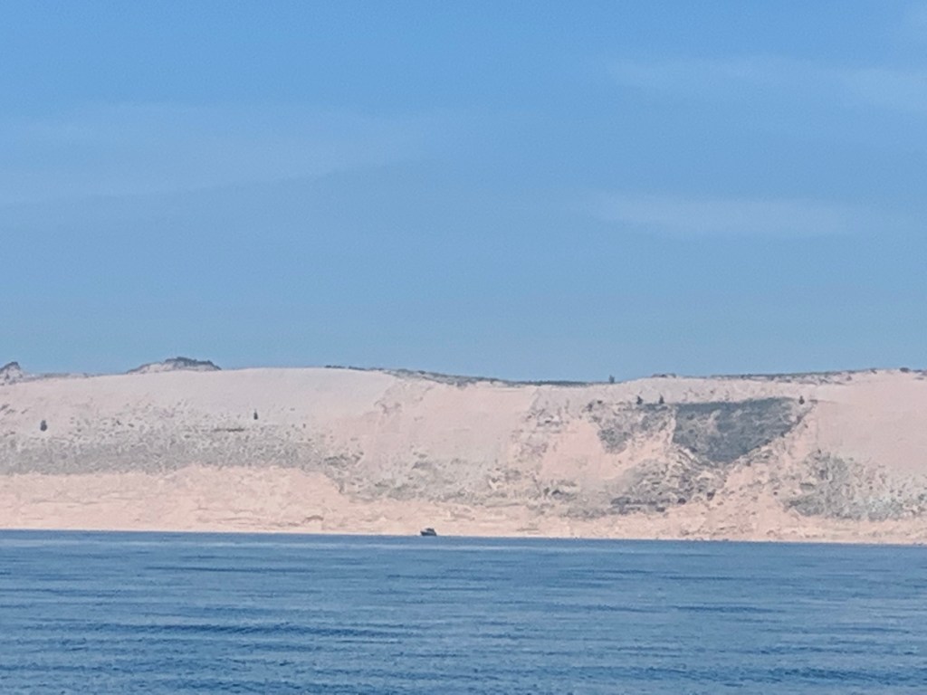
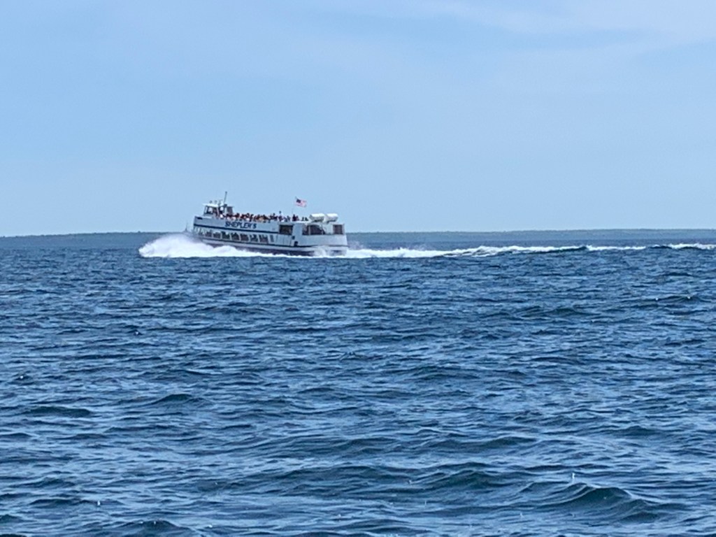
Entry #77: N43.22.147, W86.25.111 – White Lake, Anchored

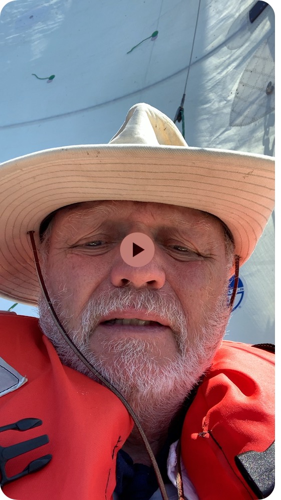
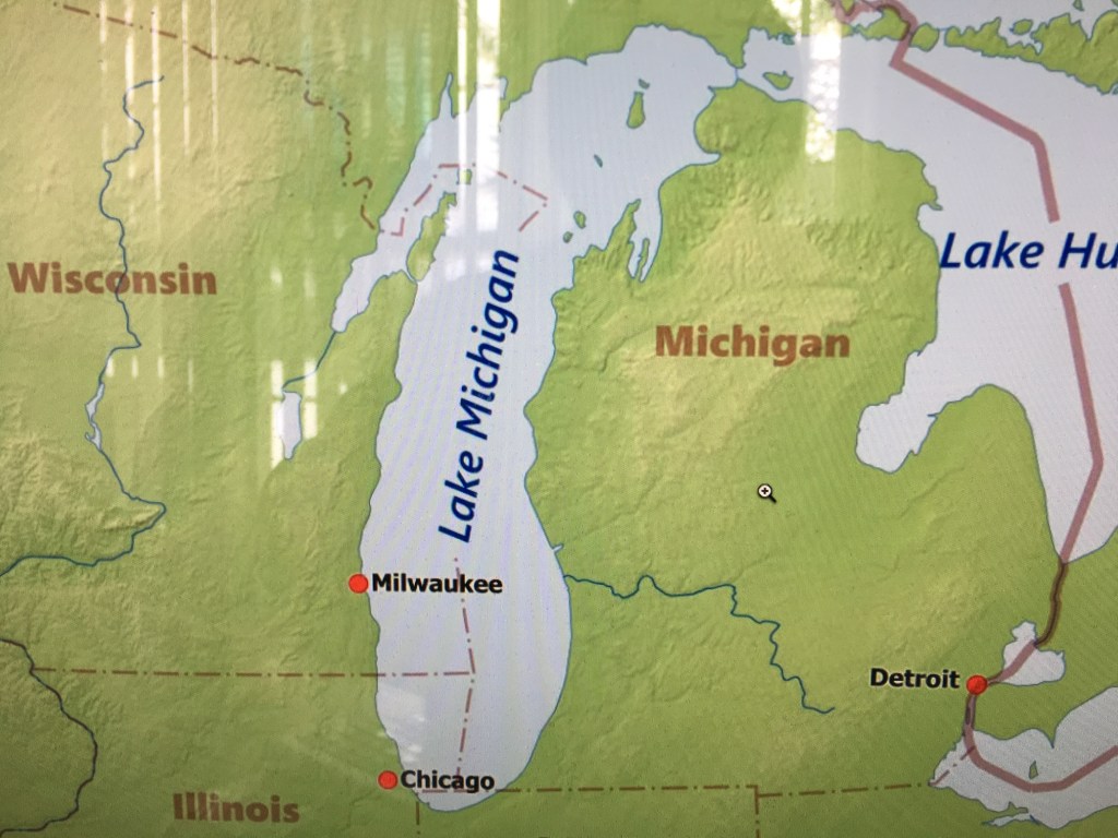
Tuesday, July 9th:  With less than a month before entering Lake Superior, I need to spend time evaluating Never Too Lates’ (NTL) different points of sail characteristics and preferred trim settings.  Sailing in Lake Michigan will be my last opportunity to focus on this prior to the start of the Trans-Superior International Yacht Race on August 3rd.  Today would be ideal to enjoy sailing and begin this process given the forecast for moderate winds and blue skies.  Todays’ destination – I don’t care.

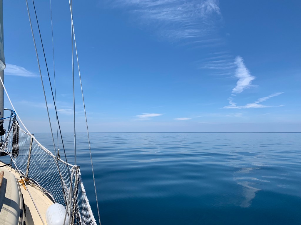
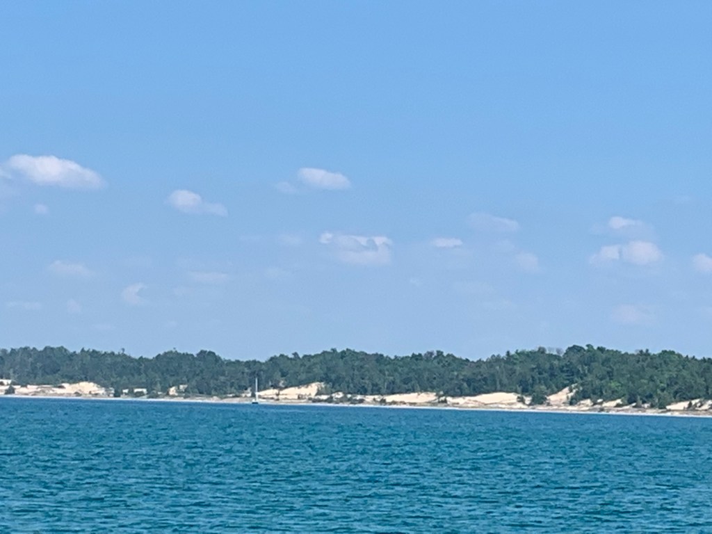
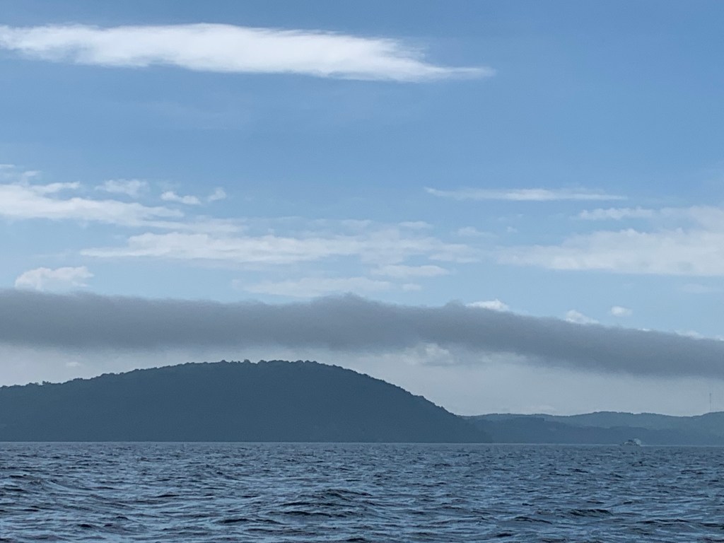
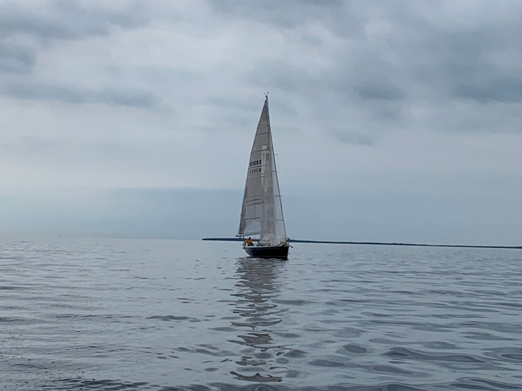
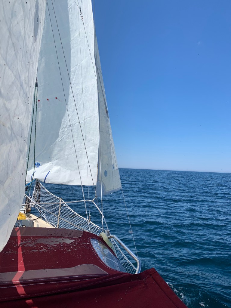
The day started off beautifully with the engine off and my sails up under blue skies and winds from the south at 6 to 8 knots forecast to reach a maximum of 14 knots.  Due to the prevailing winds coming from the south, I headed southwest into the lake with the intent to periodically tack towards the Michigan coastline. 

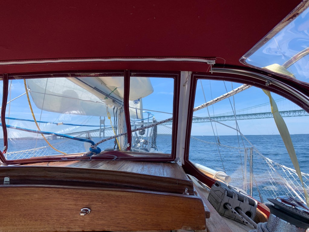
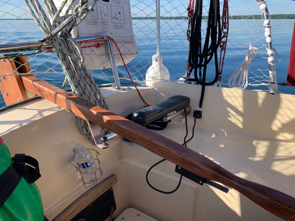
 I was enjoying the sail, I began studying my sails and tinkering with my trim.  The first issue I focused on was with the jib – not the sail but its trim and its sheet(s).  I had replaced my jib line following the first leg of Lake Erie due to fraying.  The jib line constantly rubs against my forward side stay.  And when tacking, the jib clew has gotten caught at the spar on a few occasions.  Additionally, I just don’t like the shape of the jib when going to weather.  Its too full thus challenging NTL’s ability to point to my liking.  Efforts to slide the blocks rearward have not had the desired effect.  Currently, my only recourse when trying to pinch has been to slightly furl my jib to eliminate lee trim edge flutter.  Other potential solutions I have in mind can’t be done on the water and I will have to wait until I find the time while in dock. 

(To our non-sailing readers, I do apologize for being perhaps too technical.  And, to our experienced sailors, I also apologize for not being technical enough.)

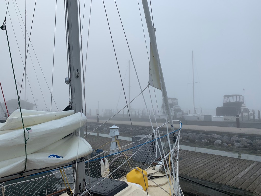
I made a second modification to my mainsail # 1 reef system and simplified it.  It is now much easier to engage.  After considerable thought, I remain concerned with the bimini canvas design as it relates to my ability to reef the main from the cockpit; and, the biminis’ poor condition.   The temporary repair of the canvas allows for the bimini to serve its function providing shade from the sun.  However, and as you may remember, in addition to severe canvas damage, my bimini frame was kinked, bent and a portion lost in the northeastern storms in Lake Erie. 

I have my bimini jury rigged for function but it doesn’t address the design issue.  With the current design I am unable to reef my main while in the cockpit.  I have to stand to the side and reach over my bimini to the boom in order to reef my main.  Not desireable under any condition let alone during heavy seas when the need to reef is presented.  Ideally, I would like to be able to unzip one side of my bimini and reef from inside the cockpit.  However, it is unlikely I will have a permanent fix in time for Lake Superior.

These are the two significant improvements I would like to implement at some point. 

Now back to my day of sailing…It was still morning when I hit a hole (For my non-sailors, a hole in this context refers to an area on the water where there is little to no wind resulting in limp sails and no boat progress.)  While sitting I took the opportunity to scan my emails.   I came across an email from the Great Lakes Singlehanded Society.  My second Trans-Superior qualifier unexpectedly fell short on requirements.  I felt I ran hard into a brick wall.

My carefree and relaxing day of free spirited sailing came to an abrupt end.  A zillion thoughts went through my mind including how and when would I be able to complete a 100 mile 24 hour qualifier – a 3rd time!  I spent the rest of the day and well into the night upset, frustrated and not clear headed.  The latter resulted in some poor decision making.

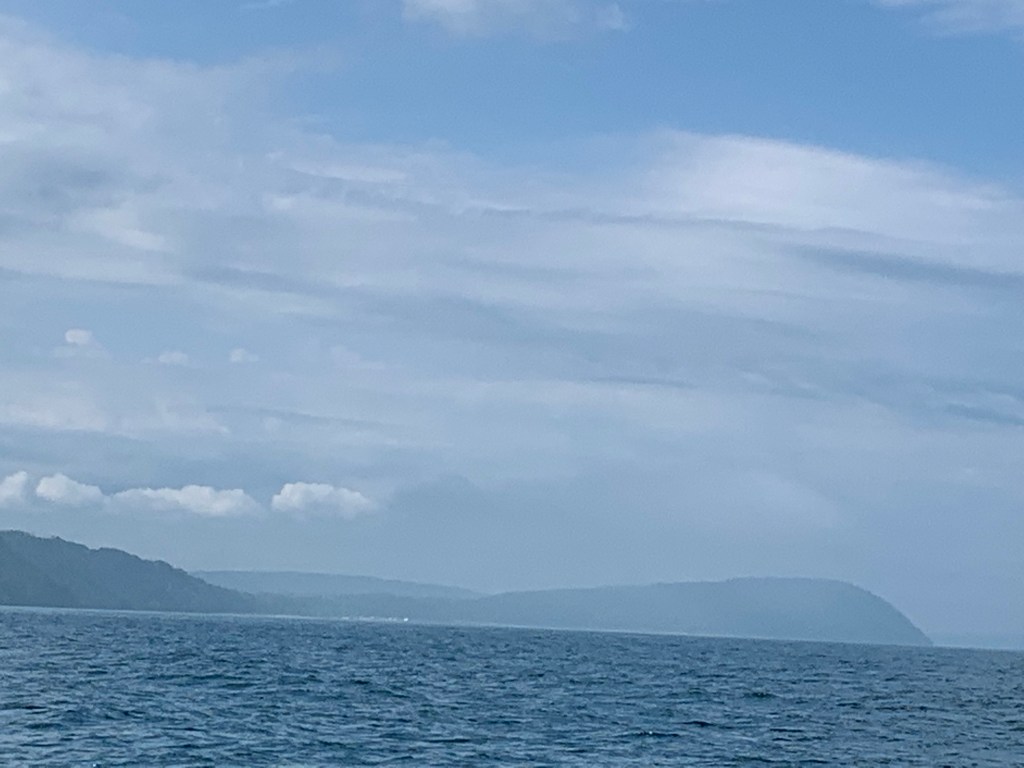
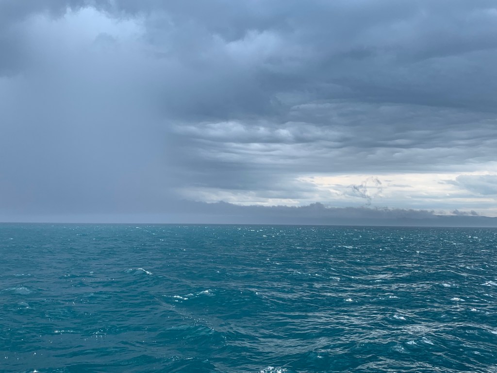
During this interval, winds had begun to pick up.  I reviewed the latest NOAA satellite and radar for the next two days.  There was a line of severe thunderstorms coming from the west projected to hit the Michigan coastline around 2 pm tomorrow.  Moderate winds were being forecast coming from the south for the balance of the day and through tomorrow morning.  I confirmed these forecasts with a number of sailing friends. 

It was mid-afternoon when I reviewed the weather forecasts and I had already sailed 33 of the required 100 miles.  If I sailed through the night, I should be able to meet my qualifier requirement by 10 am tomorrow morning – well before the projected arrival of the storms.  I decided to go for it and spent the next five hours on reach courses designed to maximize my speed and distance travelled.  However, this strategy served to lead me further and further into the middle of the lake.  I was halfway between Muskegon, Michigan and Sheyboygan, Wisconsin when the winds unexpectedly died down.  Additionally, I was in a zone with no internet and no phone service!

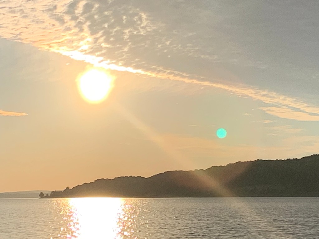
It seemed like an eternity, but the winds finally began to pick-up.  Eventually, I found internet and phone service.  I immediately check the latest NOAA satellite and radar forecasts.  The time of arrival of the severe thunderstorms were moved up from 4 pm to 10 am!  And as the result of being becalmed, my projected arrival under sail to the closest safe harbor was now 4 pm tomorrow!  I looked around me and could see ominous dark clouds along the entire west horizon.   It was nearing dusk and the sun was setting behind storm clouds.  I had a decision to make, start the engine and forego completion of my qualifier or try to complete the qualifier in a severe thunderstorm.  I was running out of opportunities to complete my qualifier and badly wanted to finish. 

The winds were dying down – the calm before the storm.  If I was under engine power, my projected arrival time to White Lake (safe harbor) was 2 am. 

I started my engine and headed for White Lake – frustrated, angry and despondent.  As I looked at the skies around me, I became a little concerned and prepared for inclement weather.  It was eerily dark when I entered White Lake around 2 am.  I anchored and crashed exhausted and despondent. 

I was suddenly awakened at 4 am as the storm hit even earlier than projected.  From a forecasted 4 pm to a 10 am to a 4 am actual – in less than 24 hours!  Checked my anchor and just shook my head as I fell asleep in the midst of the storm.

 I awoke around 7 am and immediately raised anchor.  Tired and despondent, I was headed, ‘ Who cares.’

Take care everyone.

Lifting anchor and heading out.
I was beginning to wear down and was despondent after my failing to complete my qualifier.


Departure Delayed, Dermatomyositis Update

Entry #76:

Monday, July 8th:  Before I slowly and lethargically readied to leave my slip this morning I thought I’d remind everyone for whom I am dedicating this journey.  This update is long overdue.

My nephew, Cameron Buffa unfortunately acquired and continues to battle a rheumatoid disease – dermatomysitis.  I’m hoping to help raise awareness on this incurable disease that has no known bacterial or viral cause.  

Research to determine its cause(s) is taking place in a number of clinics including John Hopkins, Mayo and The University of Michigan Medicine Program for Clinical Research.

If you are inclined, spread the word for my blog and make a tax deductible donation to one of these research clinics.  Two with contact numbers should you consider _

. University of Michigan Medicine for Clinical Research at 734.615.5275

. Muscular Dystrophy Association National Office at 800.572.1717.

 Later this morning I hope to be on SiriusXM Channel 6 with Plash Gordon a second time to give his audience an update of my Great Lake circumnavigation effort and Camerons’ disease. 

Entry Updated – On Never Too Late prior to embarking, I my phone rang.  My immediate attention was needed (Mary was heading south for a month to Dallas to help out our daughter who was about to give birth to our 5th grandchild.   I completed taking care of our affairs following three and half hours. 

It was near mid-day and not surprisingly the forecasted weather calling for favorable winds was not in evidence.  Skies were hazy and there was not a whiff of a breeze.  For the most part, winds had been light to non-existent when there were no storms since I entered Lake Michigan. I was not looking forward to sitting out in the middle of the lake motionless being eaten by flies or motoring to my next port. I decided it was going to be another day in the slip and would take this opportunity to finally purchase a spray can to deal with the flies.

That afternoon, I completed my wash, tightened my rigging, picked up a can of Raid while taking a nice walk around Ludingtons’ harbour.  

It was 7 pm when I completed my walk.  Just enough time to make a meal, check out tomorrows weather forecast – why I do not know – and read a book.  

Don’t forget to pass the word everyone!  And, thank you in advance.

Following the sanded coastline to Ludington in light air.
Passing the Lundignton harbour lighthouse.

“John!” Marys’ Voice Called Out!

Entry #75:  N44.57.237, W86.27.195

Saturday, July 6th & Sunday, July 7th:  I probably am going to lose some followers with the following update but it is what it is.  It may be the result of fatigue or it may be exactly as I am about to share _

As I mentioned in my last blog entry, I was concerned about the secureness of my anchor and as I had done during previous anchorages, I had gotten up several times during the night to check out whether or not the anchor was holding.  Each time I was re-assured.  The winds were light and I was anchored between two anchored sailboats.  One to my right about 100 yards and one to my left 100 yards.  All of us were facing into the wind lined up as though we were at a starting line.

After confirming my anchor was holding around 3 am, I again layed down and read a bit before falling asleep.  Suddenly I was awaken at 5:50 am by Marys’ voice calling out my name.  I almost didn’t jump up as I wanted to sleep some more.  But reluctantly I decided to look around and to my astonishment, my anchor had released and NTL was drifting in the middle of the main channel some 300 or so yards away from the other boats.  I frantically put on some clothing, started the diesel, raised the anchor and left the harbor to begin another day. 

I set the course for Ludington, put her on auto-pilot and went below to put on proper attire.   The forecast had called for moderate winds from the north.  It looked like a promising day of sailing.  I put up the sails, turned off the diesel and took a video. 

Again, Michigans’ western coastline comprises of sandune after sandune and is simply beautiful.  Not so much the skies. 

I left Frankfort under the threat of rain.  As I began analyzing the radar projections, I saw nothing but major storms lined up to my west.  And I still had close to 50 miles to reach Ludington.  At least the wind projections were moderate and there were several ports on route should I need to seek safe harbor – Arcadia, Onekama, Manistee.  (Though I would only harbor in Manistee under the most dire of circumstances.  But that’s another story.)

The winds started out at a nice comfortable 8 to 10 knots with 2 to 3 foot seas coming from my back.  Suddenly, I saw a narrow black low hanging cloud develop along the entire coastline.  Rain began to pour and I knew I was in for a major storm.  I reefed my main to the first position and roller furled my jib 25 percent as both the winds and seas continued to build.   The forecast called for winds no greater than 17 knots with seas no larger than 3 to 4 feet.  We were there already and it was continuing to build.    When I estimated the winds were above 25 knots and the seas 6 to 8 feet, I lowered my main sail but kept 15% of my jib sail up for directional stability.  Fortunately, NTL handled the seas superbly as the spar whistled a loud tune in the howling winds.  At least we were moving nicely with the seas behind us.  At one point I read 8 1/2 mph!  Not bad given a maximum designed hull speed of 5.6 mph. 

I went through several storms before it started to settle down about an hour before Ludington. At the Ludington Municipal Marina, I fueled and with the assistance of several neighbor boaters, I was able to get into my slip despite the current and contrary winds.

I took a well needed shower. (It’s only been 5 days since my last one!  And, yes Mary I brushed my teeth.)  I cooked a warm meal – rice and noodles – and settled for the night.

Sunday was a day of well deserved R&R.  I figured out how to connect to the wifi – long story had to walk with my computer to the edge of the harbor – and updated my blog throughout the day.  I washed dishes, watched the USA womens’ soccer team defeat Netherland for the world cup, had a beer (well maybe two) and a hamburger.

I plan to depart in the morning but haven’t looked at my route yet.

To date:  1818 miles; Lakes Ontario & Erie circumnavigated; Lake Huron one leg completed; Lake Michigan first leg in-progress.

  Take care.

Anchored in Frankfort

Entry # 74:  N44.37.780, W86.13.783

Friday, July 5th (Day 59):  A belated Happy 4th everyone.  Around two in the morning while anchored in Cathead Bay rain arrived. (Either the rain was un-forecast or the storms were coming earlier than predicted.  I quickly got up and closed the windows and brought in items from the cockpit.)

By 6 am the next morning, the rain had subsided but I was surrounded with dark clouds everywhere but to my east.  With no internet I texted a friend to look up the weather for the area.  Gratefully he responded that it was forecast to be a great summer day with the possibility of a few shower events.  Excellent, I lifted anchor and slowly made my way heading south in the light and fluky winds.  It was already warm – too warm – and with the threatening skies I was feeling uneasy.

I slowly…did I say slowly?  I meant to say I turtuled my way towards Frankfort.  During this eternity of hot weather, little wind and my declaration of war against biting flies, I experienced another butterfly visitor.  This time it was not a monarch, however all is good.  It was otherwise an uneventful day and I took in the beautiful Michigan western coastline consisting of sandunes, trees, enormous summer homes and tranquility.

It was after 9 pm and post sunset.  I honestly can’t tell you how, but somehow I made Frankfort anchoring with three other sailboats in a part of Betsie Lake designated for  anchoring.  It was a noisy night as one could imagine but I fell asleep without making a meal.  I would be awaken periodically by the fireworks and celebrations.  Each time I would peer out to confirm that my anchor was secure.  This anchorage was known to be insecure and I wanted to make certain my anchorage was firm.

Its been 59 days and over 1,750 miles since I undertook this journey.   And thus far, during this quixotic venture,  I’ve completed two Great Lake circumnavigations, one leg of a third Great Lake and have entered a fourth Great Lake.  I can’t count the number of storms or encounters and for the most part dealt with successfully.  But even after a weeks’ layover to re-supply and repair last month I’m beginning to feel a bit tired and worn.  Someone asked me a month ago how I was doing – physically & energy wise, mentally & emotionally.  My response at this writing, on a scale of 1 to 10 where 10 is highest – physically & energy wise (6); mentally (8); and, emotionally (8).   O/A Assessment:  Plenty left in this tank to reach my windmill.  But after four straight days of anchoring, I can use a layover day

Take care.

Light winds as I peacefully sailed southbound along the Lake Michigan coastline with the rising sun.
Not much progress with little wind and the ominous forecast of thunderstorms later in the late afternoon.
Beginning to observe pockets of sandy exposures along the coastline.
Dune cliffs beginning to grow as I continue to sail south. Dark storm clouds approaching on the horizon.
Winds slowly picking up as storm clouds loom closer.
I’ve seen a similar formation (line) of dark clouds before – on Lake Erie – not good.
OK winds picked up in front of a series of fast moving storm clouds coming from the southwest. NTL is hours away from the nearest port and Michigans’ west coastline bays are exposed offering no safe recluse. I’m going to head out into open waters and try to bob and weave through the weather hoping for the best!
Wow, first storm passed in front of me and second just behind me. Got a few gusts of wind and some rain but otherwise it looks like I lucked out.
Sleeping Bear Dunes
Beautiful! Huge. Can you see the people walking on the beach?
The 40′ cruiser offers a perspective on the Michigan Dunes height.
Frankfort. Finally! Its been a long day.
Frankfort Coast Guard Station

Anchored in Cathead Bay

Entry #73:  N45.10.889, W85.36.536

Thursday, July 4th (Day 58):  For the first time, my 6 am alarm woke me up!  I just wanted to sleep some more but I was anxious to get to Northport while the weather was good – I think.  I had no internet or phone and needed to reach somewhere to get connected and check-out the weather forecast.  (Even though I know it will likely be wrong.)

As I followed south along the Michigan coastline, the warm morning was spent heading into 5-7 knot head winds.  (Why was I not headed north so I could enjoy following winds?  Better yet why weren’t the winds heading south instead of north?  Oh well, after weeks of cold and stormy weather, I am not complaining – except for the biting flies.

It was a light air afternoon, hot, the flies biting and I couldn’t wait to anchor.  It was late afternoon as I finally began approaching the Leenau Penninsula for Northport.  I had already passed harbor Springs and Charleveaux.  As I began contemplating tomorrows sail, I noticed on my chart plotter another bay on the western shore of Lake Michigan.  If I could anchor there, I would save myself about 10 miles and at least 2-3 hrs as Northport was on the eastern side of the penninsula.   The bay was called Cathead Bay and it offered protection on all points with the exception of winds coming from the north and north west.  I checked my weather apps and found weather (storms) were being forecast coming from the southwest for a couple of hours beginning at 7 tomorrow morning before clearing for the remainder of the day.

I anchored around 5 pm in the north west corner of Cathead Bay in crystal clear water were I could see my anchor lay 15 feet below.  A beautiful serene bay. That evening I could hear children and their parents playing and laughing in the water.   After a can of tuna and some red beets I began to read a book and immediately fell asleep.

Take care.

Beautiful pristine crystal clear water as I lifted anchor.

The Mackinaw Bridge and into Lake Michigan

Entry #72:  N45.38.630, W85.03.111

Lake Michigan Clockwise then into Green Bay

Wednesday, July 3rd (Day 57):  It was a beautiful morning following a solid sleep.  I organized my cabin in preparation for the coming day.   I checked my bilge, found some water and successfully tried out my back-up battery operated hand bilge.   I lifted anchor around 7 am and set sail for Mackinaw City to fuel and my first pump out. 

(I have respect for the Straights of Mackinaw and its winds.  I wanted to be prepared for any contingency.)

I picked up fuel at the Mackinaw City Municipal fuel dock and successfully completed my first pump-out of my head.  (I was a bit nervous as this was the first test of my head assembly.)

Before embarking I walked to Sheperd’s marina supply and picked up a set of bow light bulbs just in case.  While at the check-out, I saw a kids’ book entitled “Grandpa’s Bridge”, a story about the building of the Mackinaw Bridge.  It was dedicated to ‘Pa and his grandson John’.  How right, a perfect gift for my grandson (Little) John.   I walked back to the NTL with purchased goods in hand and anxiously set off to cross under the bridge under sail.

As I headed towards the center span of the bridge, I overheard the Mackinaw Bridge Authority make an announcement for recreation traffic to avoid construction zones on my VHF handheld.  I looked ahead and could see construction going on between the two southern bridge columns.    The ferry boats and power cruisers caused a surprising amount of chop.  Between the traffic, gusty wind conditions, the traffic and chop and, the bridge construction I found myself focused in the intensity of the moment while at the same time at awe of the Mackinaw Bridge itself.  The winds were surprisingly shifting and gusting as I approached the center of the span.  I had tacked numerous times to this point with the plan to sail on starboard tack heading for the green buoy west of the southern tower.

As I went under the expanse towards the leeside (left) of the green buoy, I found myself being hailed by the Mackinaw Bridge Authority.  When I replied I was directed to change frequency and on the new frequency I was asked to confirm that my intentions were to continue heading toward Lake Michigan.  Following my confirmation a bridge authority boat showed up announcing he would allow me to continue my heading.  Unknowingly I had crossed the buoy on the wrong side of the construction zone!  (Another lesson learned.)

It was nearly 9 pm before I set anchor in a bay south Waugochange Island west of Beaver Island.  It was a long and exciting day.  I just entered Lake Michigan, my 4th Great Lake. 

Take care.

Lifted anchor Mackinaw Bridge in the distance.
Headed for Mackinaw Bridge following fuel fill in Mackinaw City.
Approaching Mackinaw Bridge on starboard tack and avoiding bridge work.
Sheperd Ferry heading for Mackinaw Island
Sailing under the Mackinaw Bridge and into Lake Michigan
Sailing into Lake Michigan leaving the Mackinaw Straits and Mackinaw Bridge
White Shoal Light prior to entering Grays Reef Passage.
Anchored in Cathead Bay, Lake Michigan

Heading Towards Cheybogan

Entry #71: N45.36.037, W84.25.559

Note:  As you know if you’ve been following my blog, I have been challenged finding wifi access.  And even when I have access usually at a marina, the connection isn’t always good.  This is the second time I’m entering this update as the original one for some reason did not publish or save.  Please be patient.  I’m trying as well.  Thank you.

Tuesday, July 2nd (Day 56):  It was going to be a long trek to Mackinaw City from Rogers City and I would need to leave early.  Further, the threat of storms coming from the west was of concern.  I had made good time thus far on Lake Huron and I needed to continue to make-up time.  I got up at 5 am ready to go but found myself surrounded in a thick fog and no wind.  I had no choice but to remain in my slip until the fog lifted.  Mackinaw was out of the question for today. 

While waiting for the fog to lift, I decided to take advantage of my spare time and took a shower (2 days in a row!), washed dishes, switched a couple of dock lines and for a second time, replaced my port bow light bulb.   

(I had found the light socket in my port bow was loose resulting in a poor connection and I had unwittingly broke the bulb during installation.  And during my overnight sail, I had noted that I couldn’t see a red light.

I completed replacing the broken bulb with the new one as the fog began to lift.  I quickly prepared to embark for Cheboygan.

It was 9:30 am when I left my slip and Cheyboygan was a hefty 40 miles away.  Though it would take a good 10 perhaps 12 hours with the forecasted favorable winds, I decided to give it a try.

Though I had a late start, it turned out to be a good omen resulting in a fantastic day.  You may ask why?  I saw another (or perhaps could it have been the same one!) monarch butterfly flying next to NTL!  And, it landed to rest near the bow of my boat!  I frantically went for my I-phone but the time it took to get out of the cockpit to take a picture he flew off.  Disappointed, I got back into the cockpit hoping I didn’t cut short his rest too badly.  Wow.  Just made my day!  I have a smile just writing about my it and am further reminded of a similar sense of satisfaction I felt many years ago when hiking in a desert and coming across a flowering cactus.  I had been hiking for two days in 115 degree temperatures to view an exposed flying reptile fossil the size of an F-16 fighter jet many, many years ago as a younger man.  That particular cactus I came across only flowers for a period of two weeks every 20 years!  It was a special moment for me and a memory for a lifetime.

OK, back to my other lifelong memory to be….

With the fog completely lifted, I could see the dark clouds to my left (west) and clear skies in front of me to the north.  I had been following the weather apps rather closely on my I-phone and had taken note that the storms had been steadily tracking from the north west towards the south east for the entire time.  NTL was positioned just on the northern tip of the line of storms.  I decided not to follow the coastline – towards the storms – and instead, I headed a bit further north and then headed west to the storm line.  Now with the storms to my left tracking south east and the blue skies on my right a potential escape route north,  I was able to follow the storm line all the way into the Straights of Mackinaw.  I anchored in Duncan Bay just east of Cheyboygan around 6:30 pm.  As I prepared for the night, I could see the Mackinaw Bridge on the horizon only 18 miles away.  As the sun set, it was truly a beautiful sight.  It was also a memorable day.

Additional Note:  Earlier during the day while sailing west in light to moderate breezes, I thought it would be a perfect time to figure out what was causing my (new) auto-pilot to act up.  Frustated after several unsuccessful attempts I finally looked to my last resort – read the manual!  Eureka, the auto-pilot came calibrated pre-set for a starboard side installation and NTL is rigged with a port side installation. Hmm.   And the manual even had instructions for re-calibrating the unit for a port side installation.  Hmm.  It works fine now.  Will wonders never seize. 

Take care everyone.

After repairing starboard bow light, left Rogers City Municipal Harbour in the fog.
Poe Reef Light on the Straits of Mackinaw.
Back-up auto-pilot re-calibrated and functioning perfectly. About to anchor in Duncan Bay. That’s Lighthouse Point in the background.


Onward to Rogers’ City

Entry #70:   N45.25.253, W83.48.700

Monday, July 1st:  Happy Canada Day Everyone!  Well the storm didn’t come last night.  Am I surprised?  Not!  I decided not to layover today awaiting the storm to hit.   I was intent on heading for Rogers City as I inched my way towards Mackinaw.  From Rogers City I have a fighting chance to make Mackinaw City on Tuesday and enter Lake Michigan on Wednesday.  I know, a bit optimistic.

As I was passing the north harbor of Presque Isle in another light air overcast day, who did I see but the blue sailboat that had passed me by yesterday.  It would appear, like myself he sought safe harbor from the forecasted weather and like myself this morning had decided to go for Rogers City 20 miles north.  The forecast now called for the long anticipated inclement weather to hit in the early afternoon.  

And again as yesterday, he proceeded to motor right past me as NTL with her motor and sails up continued to express ‘I think I can, I think I can’ as the passing boat grew smaller and smaller. 

Some twenty minutes went by when I noticed a stream of water ripple about a hundred yards to starboard.  I immediately took over the helm from the autopilot and headed towards it.  As I moved across and into it, I felt a light breeze from over my shoulder and my sails began to fill in.  I adjusted my sails and proceeded nicely at about 3 mph. 

 Not soon afterwards, I could see the sailboat that had passed me by earlier.  It was sitting just ahead and below sails up and limply flapping.  Curious?  My first thought was why wasn’t he running his engine as he had yesterday and earlier this morning?  I took out my binoculars while maintaining the helm and finally was able to see the skipper moving calmly around his boat.  Was he out of fuel?  I decided to move closer towards him being careful not to get out of the stream of air I was in.  Soon I was within hailing distance and hailed if he needed assistance.  He waved everything was fine.  I waved back and continued on my way thinking, hey I just passed a boat.  It was a first!

When I looked back a few minutes later, I saw he had steered his boat toward the stream.  And, a few minutes later he waved as he passed me by.  That’s ok I thought, I wasn’t racing anyway.

I completed my trip to Rogers City Marina in about 4 1/2 hours.  I docked, did my wash, ate a can of tuna and then updated this blog.  Next, a well deserved shower – some may say needed.

Day 55

Circumnavigated:  Lake Erie , Lake Ontario

Total Miles To Date:  1,574  

TAKE  CARE  EVERYONE.

Sailing past the (newer) Presque Isle Lighthouse on my way to Rogers City. It is 123′ tall and was built in 1870.
By mid-morning the winds turned very light with occasional showers on the way to Rogers City.

Anchored in Presque Isle

Entry #69: N45.19.791, W83.28.897

Sunday, June 30th:  I left my dock at 11:30 am headed for Presque Isle in an effort to beat the incoming weather.  Presque Isle is approximately 19 miles due north of Alpena.  Given my 4 mph trip average that would make it a very doable 5 hour sail.  However, Alpena is located at the far western end of Thunder Bay and it took me a full 4 hours to round Thunder Bay Island and head directly for Presque Isle.   At that point I was over 20 miles and still 5 hours from my destination.   But I had a contingency, unlike in Lake Erie, with the weather coming from the west, there were numerous safe harbors to choose from between Thunder Bay Isle and Presque Isle.  

It was past 8 pm when I reached the southern harbor of Presque Isle.  I saw two sailboats anchored and I positioned myself closest to the western tree line before setting anchor.  The harbor was well protected and I felt I was in the best location should the storm hit during the night as it was now predicted.

I hit the sack completing day 54 of my trip and 1,554 miles.  

Yes, I have been pushing it on Lake Huron and here’s why…  

When I was planning this journey, I broke down each Great Lake into segments and assigned priority tasks.  My initial priority and task sailing on Lake Erie for example was to focus on learning NTLs sailing mannerisms and tweaking her for improved performance.  Instead, my time on Lake Erie required focusing on survival, testing both NTLs and my own seaworthiness and seeking safe harbors.

In my planning stage, I saw in Lake Huron the opportunity to complete a 100 mile overnight and the potential to make up time should there be a need to do so.  Again, the unanticipated time required to circumnavigate Lake Erie due to the weather and the over-extended layover at JBM has served to further the priority to take advantage of Lake Huron.  I hope to be able to utilize my time on Lake Michigan to further tweak NTL and work on my points sail – originally planned while sailing Lake Erie.

Anchored for the night between two vessels on the south end of Presque Isle Harbour.
Old Presque Isle Lighthouse

I  

Day 53 Alpena

Entry #68:  N45.03.560, W83.25.649 

Saturday, June 29th:   I left early in the morning under partly cloudy skies, ‘0’ wind and flat (glass) seas.  It wasn’t 7 am and I was already feeling the suns’ heat.  Temperatures were going to reach 85 to 90 degrees.  Thank goodness for the bimini.  The flies were hungry as well and I ended up wearing a mosquito net and wrapping my exposed ankles in a towel.  Hopefully the wind will pick-up otherwise it will make for an even longer day.

Originally, I had planned to make Harrisville but there was a large line of severe thunderstorms to the west that were scheduled to arrive Monday.  Whatever the scenario, I would be loosing another travel day either Monday or whenever the storms would arrive.  I wanted to make Presque Isle but that would mean a tweener arriving in the middle of the night.  Not appealing given I wasn’t familiar with the area.  I decided to go for Alpena.  Though not the shortest route to Mackinaw, at over 70 miles it was going to be my longest daylight distance achieved to date with the exception of my adventures in Lake Erie. 

Initially my sails layed limp but slowly – ever so slowly – the winds began to pick-up and by 4:30 in the afternoon they reached 15 plus knots coming from the south and south west.  With the following surf I found myself going past hull speed and was truly enjoying myself.  The fun didn’t last long as the winds began to die down to below 5 knots.  I arrived in Alpena around 10 pm exhausted.  I found an open dock and tied up.  My brother-in-law has a cottage nearby on Long Lake and offered to pick me up to watch the fireworks.  I politely declined, got rid of my sweaty fly infested clothing and collapsed for the night. 

The next morning I met my brother-in-law for breakfast and left immediately afterwards.  I wanted to reach Presque Isle before the weather was forecast to hit. 

Under blue skies and light to moderate winds, departed Alpena on my way to Presque Isle.