Entry #47:
Wednesday, May 29th: Kingston is the farthest east I planned to make on Lake Ontario before heading west.
I decided to take fuel as I left and the poor attendant put on his waders and carrying the fuel nozzle to NTL waist deep while standing on the dock! As I mentioned in an earlier entry, throughout Lake Ontario, water levels are running 5 to 9 feet above water levels. Many marinas are closed and many that are open have no power.
I learned from my experience on Lake Erie’s Ontario coast and with unpredictable weather and the long open distance with little safe harbors available going west from Kingston, I decided to take the North Channel and head for Trenton.
I had to frequently adjust the sails as the winds fluctuated throughout the day. I needed to maintain the tiller as well but enjoyed the change from open water to the landscape of farmland, forests and hills as I headed slowly west. I anchored after finding a little cove protected from the winds that were forecast to build that night.
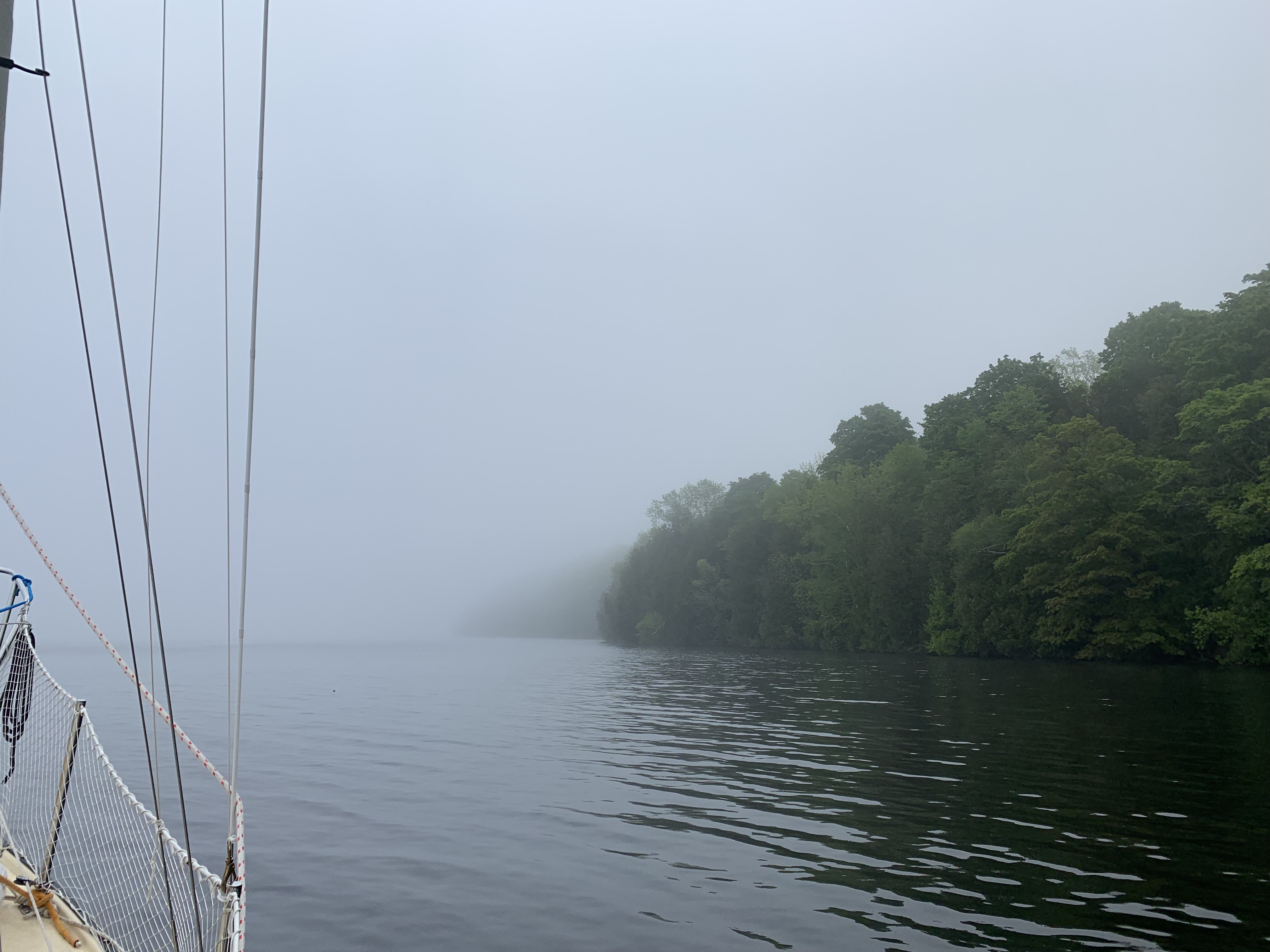
Thursday, May 30th: I awoke around 6 am in thick fog and little wind. I dared not leave the protection if my little cove in this thick soup. I spent the next couple hours cleaning and organizing the inside of my cabin. Around 8 am I could finally begin to see the shoreline some 200 feet away and I decided to embark.
On my Marine Traffic app a ship was indicated in the middle of the channel about 3 miles ahead. It appeared not to be moving. Throughout my passage, my connections kept coming and going without notice. It would go both ways, when something was indicated and I would eventually find that it was no longer there as I passed by; or not indicated and I suddenly would come across it – like a shallow shoal and have to veer for deeper water. Electronics and forecasts are great but I do not rely on data alone. I feel comfortable on relying on my senses, experience, knowledge AND data – all together. The ship was not there.
Additionally, as I weaved my way toward Trenton and even with the high water levels, I can count numerous times my Garmin alarm came on due to shallow waters not indicated by the charts.
I finally entered the Trenton harbor, found a place to anchor, ate a peanut butter and jelly sandwich and fell asleep.